
Earth’s magnetic field, also known as the geomagnetic field, is the magnetic field that goes from South to North pole. Poles are not exactly aligned with the geographic North-South axis and is approximately tilted with respect to Earth’s rotational axis. This causes an offset, known as magnetic declination, between the magnetic and geographic north. Although the magnetic field is stable over time, the magnitude and direction changes with respect to the location. The magnitude of the Earth’s magnetic field at its surface ranges from 0.25 Gauss to 0.65 Gauss. Moreover, local declinations can reach to tens of degrees. National Oceanic and Atmospheric Administration (NOAA) releases model coefficients of actual Earth’s magnetic field at 5-year intervals, with World Magnetic Model (WMM).
Magnetometer measures the Earth’s magnetic field and enables the systems to compute heading. However, magnetic sensors are sensitive to the surroundings, and the magnetic data is almost always distorted. The magnetic distortion can be separated into two categories:
Magnetometer measures the Earth’s magnetic field and enables the system to compute heading. However, magnetic sensors are sensitive to the surroundings, and the magnetic data is affected. The magnetic sensors should be compensated in order to overcome environmental magnetic effects and ensure accurate heading solutions.
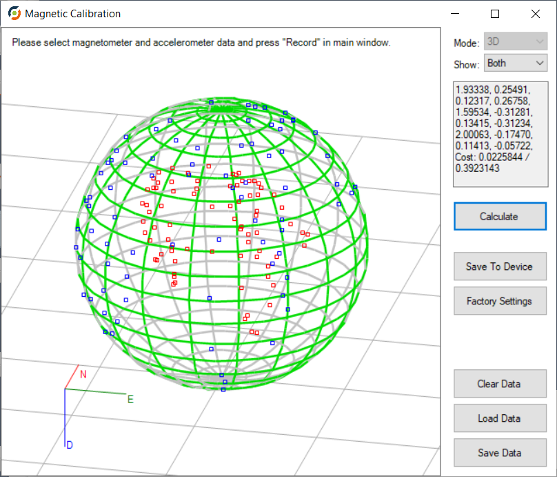
All of the ArNav products compensate the soft iron and hard iron effect using only the Earth’s magnetic field vector and a compensation algorithm. The systems collect a series of measurements and send these to magnetic calibration algorithm.
The algorithm allows the determination of the hard iron and soft iron parameters at the same time. Calibration process takes only a few minutes and the computed values are then stored to the navigation system.
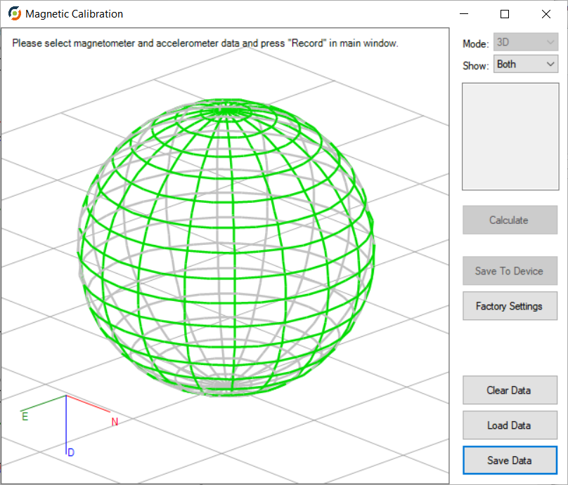
ArView includes 2D and 3D magnetic calibration algorithms. The magnetic calibration procedure may be online or offline. Either the productcan be directly connected to a computer for online data collection or it is possible to calibrate the system using data from a log file. A log file may be generated by the user manually.
Ürünlerimiz ve hizmetlerimiz hakkında bilgi almak için formu doldurun.
Hata: İletişim formu bulunamadı.