A strapdown inertial navigation system consists of body mounted accelerometers, gyroscopes, a computer (navigation/attitude computer) and instrument electronics such as power conditioning, input/output interface.
Accelerometers and gyroscopes which are composed with an electronic processor to form an inertial measurement unit (IMU), measure the specific force and the rotation rates of the body frame with respect to the inertial frame (non-rotating fixed frame). Rotation rates measured by the gyroscopes are used in attitude computation which yields a direction cosine matrix used to transform acceleration vectors between the body and navigation frames. The transformed acceleration vector is used to calculate position and velocity. Navigation frame rotation rates required for attitude computations are also calculated in navigation computer.
As a result, inertial navigation system is composed of an inertial measurement unit providing acceleration and rotation measurements, and a computer implementing coordinate frame transformations and navigation calculations.
Strapdown navigation systems rely on rate and acceleration measurements and initial position and velocity information to provide position and velocity. However, errors on sensor readings caused by bias, scale factors, thermal/magnetic effects, other nonlinearities and initialization offsets cause an accumulation in navigation errors. Since an inertial navigation system is a dead reckoning system, any lack of precision is passed from one evaluation to the next and navigation solution drifts with time. Thus, the accuracy of strapdown systems are predominantly governed by the accuracy of the sensors and improved accuracy can be achieved through the use of more accurate sensors. However, employing more accurate sensors clearly lead to very expensive solutions which are not affordable for many applications.
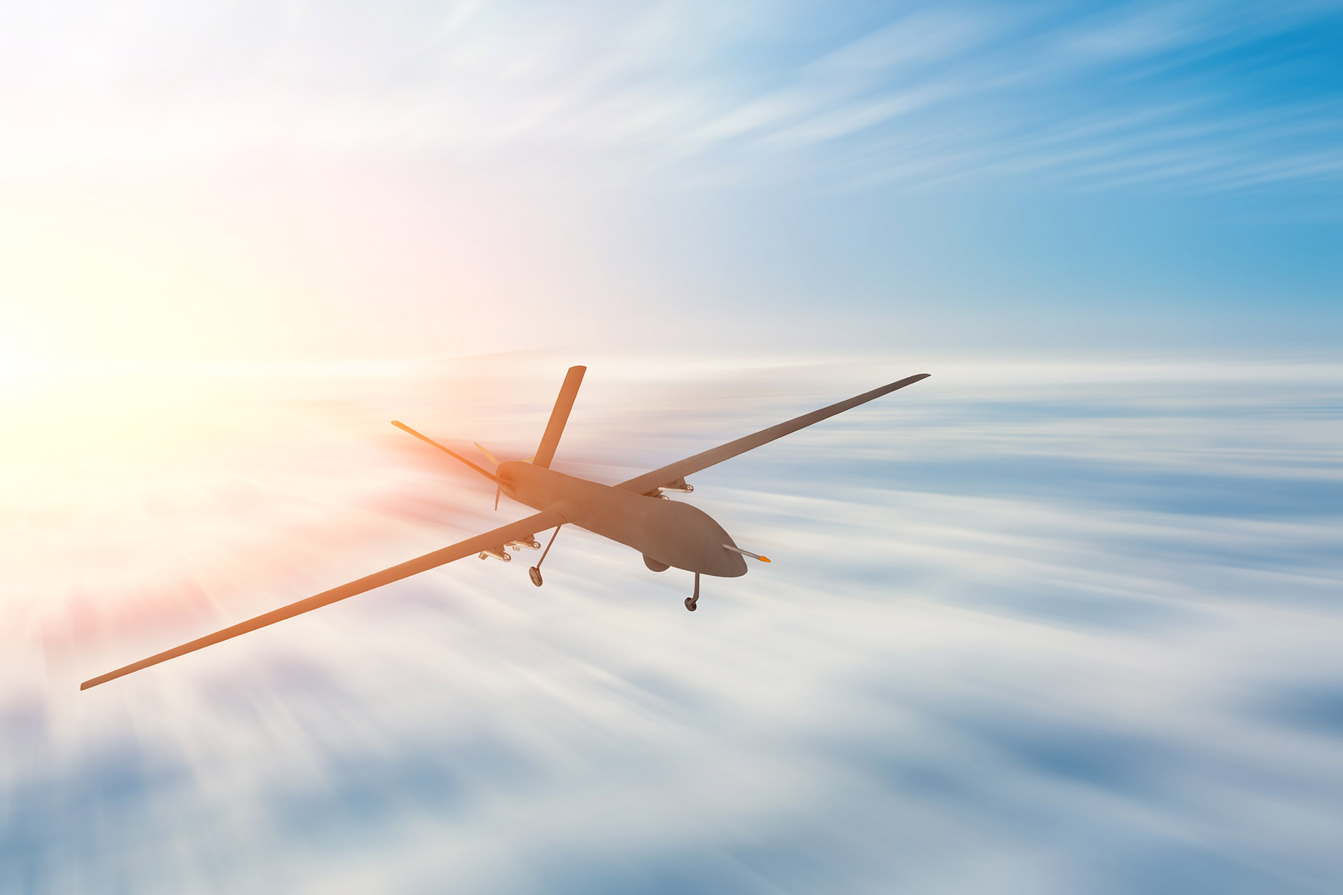
An alternative approach is to use an additional information source in order to improve the accuracy of the inertial navigation system. This is the principle of an aided inertial system where one or more navigation system outputs are compared to the corresponding outputs of an external system and fed into an optimum filter to generate corrections to the navigation system. There exist different types of sensors used as external system to improve the accuracy of the inertial navigation such as Doppler radar, baro-altimeter, radar altimeter, terrain map, airspeed indicator and miscellaneous radio navigation aids. In most modern integrated navigation applications, external aid sensor utilized is a type of satellite radio navigation with low cost, high accuracy and global coverage known as Global Navigation Satellite System (GPS). GNSS integrated INS systems have become the major navigation tool in recent years for applications such as automotive, robotics and unmanned autonomous vehicles. Current technological trend makes these integrated navigation systems a part of our daily life.

Ürünlerimiz ve hizmetlerimiz hakkında bilgi almak için formu doldurun.
Hata: İletişim formu bulunamadı.